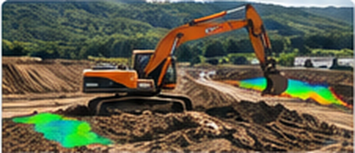
Earthworks & Quantities
Cut/fill, formation models, topsoil strip, plot quantities, comparison surfaces and volume checks.
→Fast, secure CAD & Civil 3D support for Irish contractors, consultants and engineers. Human expertise. Real results.
From models and quantities to as-builts and Uisce Éireann submissions — we help you get the job done.
Cut/fill, formation models, topsoil strip, plot quantities, comparison surfaces and volume checks.
→
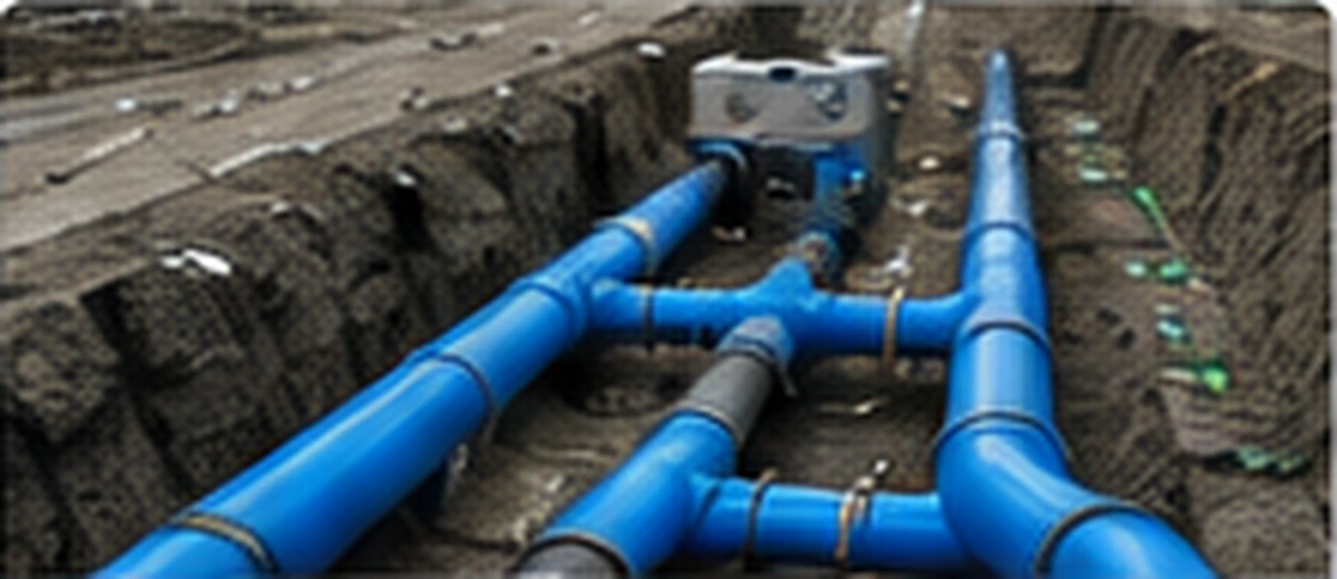
Pipe networks, long sections, manholes, gradients, foul, storm and watermain drawing updates.
→
CAD production and as-built drawing support for Irish water and wastewater projects.
→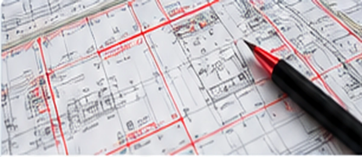
Turn engineer surveys, GPS information and marked-up drawings into clean DWG/PDF outputs.
→
Survey clean-up, surfaces, point files, drone comparisons and design-vs-existing checks.
→
Alignments, profiles, feature lines, corridors, sections, levels and targeted drawing edits.
→Drop your drawings, PDFs, survey data or screenshots.
Type, voice or add a marked-up image.
We review the files and come back with scope, turnaround and price.
You decide before any work starts.
Upload your files now or send us a message on WhatsApp.
First quote is free.